Advanced navigation systems in offshore operations, whether for drilling, supply vessels, or maintenance platforms, require highly accurate navigation systems are essential to ensure safety, efficiency, and smooth operations. From satellite positioning to real-time weather monitoring, these advanced technologies work together to ensure vessels can navigate the unpredictable ocean with precision.
In this blog, we’ll explore the key navigation systems used in offshore operations and how they enhance safety and performance at sea.
1. GPS in Offshore Navigation: Accurate Positioning at Sea
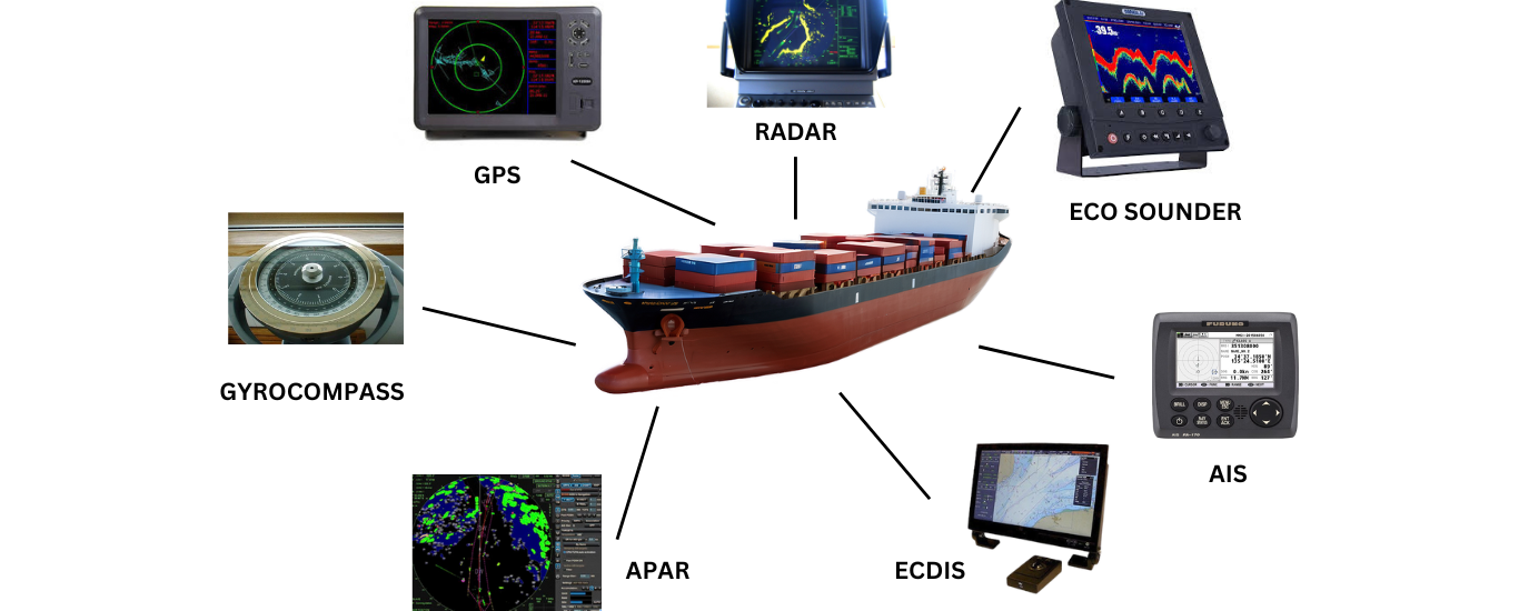
Global Positioning System (GPS) is one of the most crucial navigation tools used in offshore operations. GPS allows vessels to determine their exact location, providing accurate positioning data in real-time. This technology is essential for route planning, avoiding obstacles, and ensuring that offshore platforms and vessels stay on course in the open ocean.
How GPS Benefits Offshore Operations
- Provides accurate, real-time location tracking.
- Helps in route planning and obstacle avoidance.
- Ensures safe navigation in remote offshore environments.
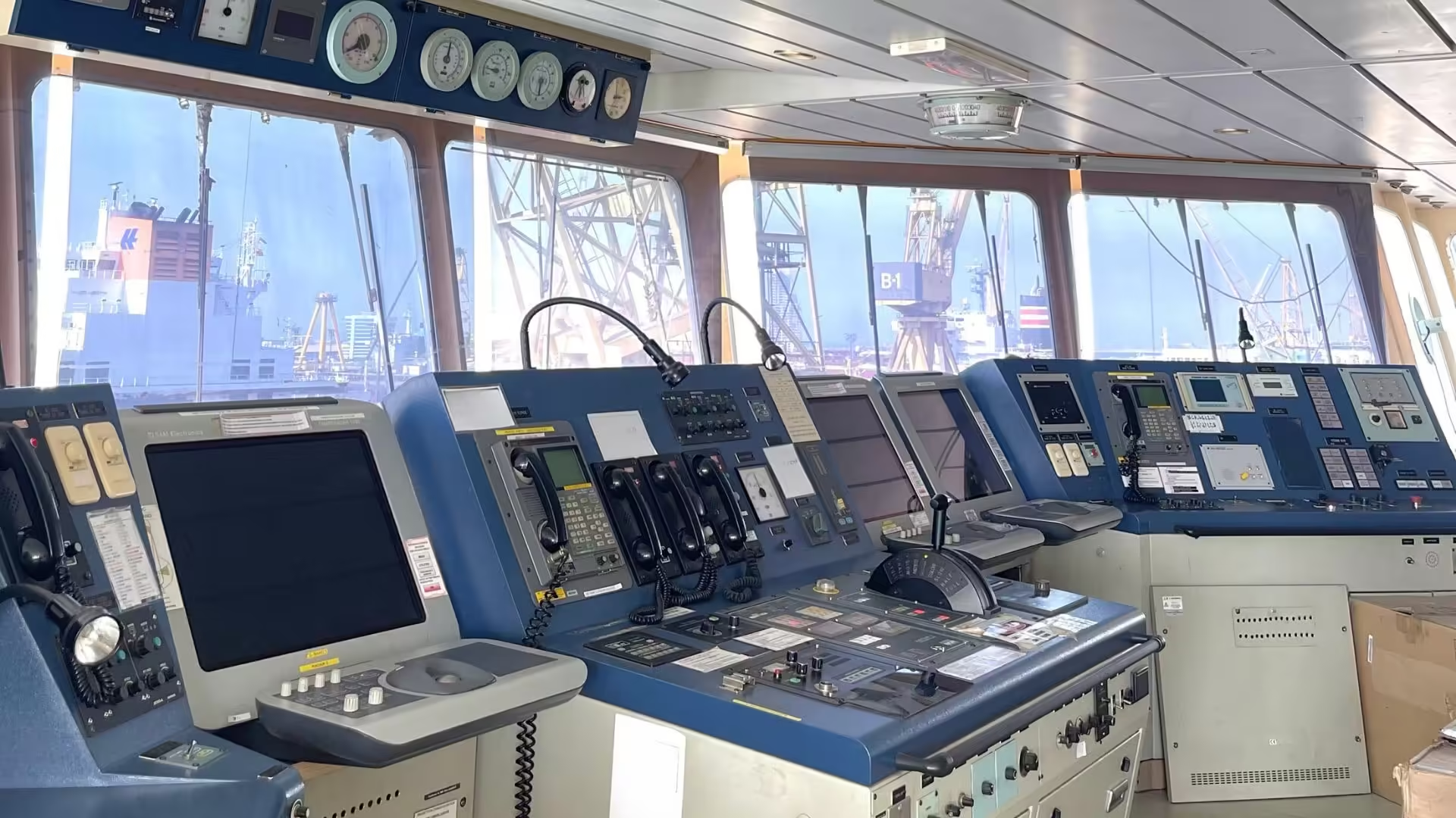
2. Dynamic Positioning (DP) Systems: Precision Control Without Anchors
Dynamic Positioning (DP) is a game-changing technology for offshore vessels, allowing them to maintain a fixed position without the need for anchors. Using a combination of GPS, sensors, and powerful thrusters, DP systems can adjust in real-time to counteract wind, waves, and currents, keeping vessels precisely where they need to be.
Why Dynamic Positioning is Vital for Offshore Operations
- Makes sure vessels remain in one location, such as over underwater wells or drilling platforms.
- Eliminates the need for anchors, reducing the risk of anchor drag.
- Improves operational efficiency, especially in deepwater drilling and construction.
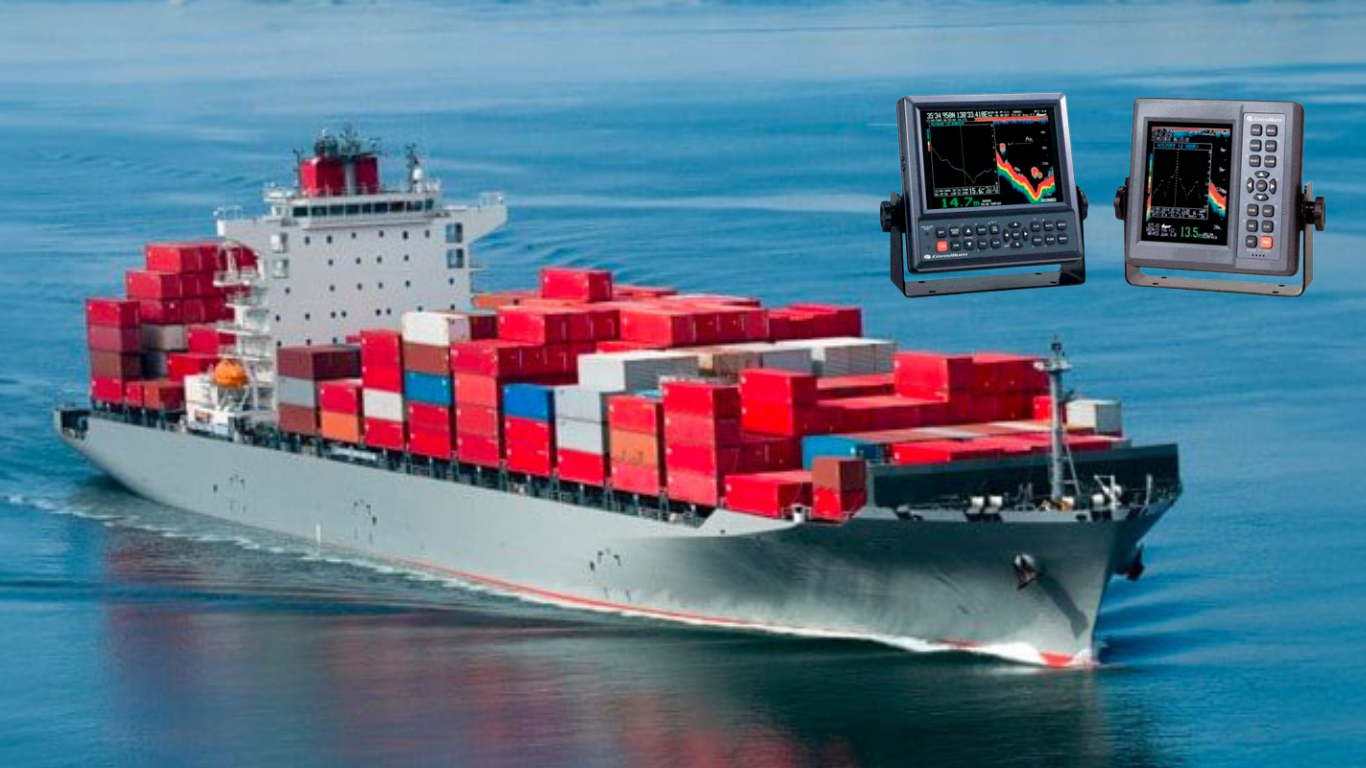
3. Radar and Echo Sounders: Enhancing Visibility in Poor Weather Conditions
Offshore operations often take place in harsh weather conditions, such as fog, rain, and night-time navigation. Radar and echo sounders are essential systems that improve visibility and provide data to avoid obstacles.
Components of Radar and Echo Sounders:
- Radar: Detects nearby vessels, landmasses, and obstacles, even in low visibility.
- Echo Sounders: Measures water depth to avoid underwater hazards like reefs and rocks.
4. ECDIS: The Digital Mapping System for Offshore Navigation
Electronic Chart Display and Information Systems (ECDIS) have replaced paper nautical charts, providing a digital interface for offshore vessel navigation. These systems integrate real-time GPS, radar, and environmental data to help vessels navigate safely and efficiently.
How ECDIS Improves Navigation:
- Provides an interactive, up-to-date digital map of the surroundings.
- Combines data from GPS, radar, and weather monitoring systems into one interface.
- Improves route planning, hazard detection, and operational decision-making.
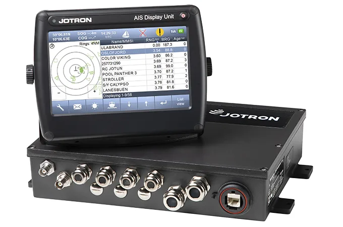
5. Automatic Identification System (AIS): Real-Time Traffic Awareness
The Automatic Identification System (AIS) plays a critical role in offshore navigation by providing real-time information about nearby vessels. By transmitting and receiving data such as position, speed, and course, AIS helps avoid collisions and maintain safe distances between vessels.
Benefits of AIS for Offshore Safety:
- Enables real-time tracking of surrounding maritime traffic.
- Provides collision avoidance data to help vessels navigate busy areas.
- Enhances safety by identifying nearby vessels and their movements.
6. Inertial Navigation Systems (INS): Backup Navigation When GPS Fails
Inertial Navigation Systems (INS) provide a backup when GPS signals are weak or blocked. Using accelerometers and gyroscopes, INS tracks a vessel’s movement and estimates its position, ensuring navigation continuity even without satellite signals.
Why INS is Essential for Offshore Operations:
- Acts as a reliable backup system when GPS signals are lost.
- Ideal for challenging environments like dense fog or under large offshore structures.
- Provides continuous positioning data for uninterrupted operations.
7. Weather Monitoring Systems: Predicting and Responding to Storms
Weather plays a significant role in offshore operations, and understanding upcoming conditions is crucial for safety. Weather monitoring systems gather data on wind speed, wave height, and atmospheric pressure, providing operators with critical information to make informed decisions.
Advantages of Weather Monitoring in Offshore Operations:
- Allows real-time monitoring of sea conditions and weather patterns.
- Helps vessels adjust their course or speed to avoid storms or rough seas.
- Enhances safety by enabling proactive responses to changing weather conditions.
Get the Right Team
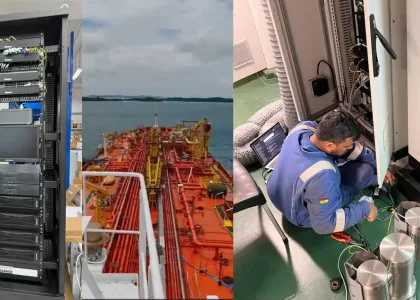
Vivo Asia provides the expertise and Advanced Navigation Solutions needed for safe and efficient offshore operations. With systems like GPS, Dynamic Positioning, radar, AIS, and weather monitoring, we help vessels stay on course and operate smoothly in challenging environments.
Trust Team Vivo to equip your offshore operations with the right navigation systems and expertise for success at sea. Contact us today to discuss your requirements


